Destinations
Northern Region
Tamale
Northern Region is the largest of the ten Regions of Ghana, covering about 70,390 km2 of the country’s 238,540-km2 landmass. It stretches across one third of Ghana from its western boundary with La Cote d’ Ivoire to its eastern frontier with the republic of Togo. Nature and culture appear to have teamed up to divide Ghana into two very distinct parts, North and South. A visit to the North is therefore a must if you want a complete, stereoscopic view of this beautiful country.
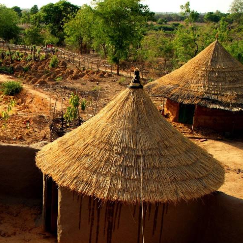
As you travel towards the North from Accra or Cape Coast, changes unfold before you. From the middle section of the country, the vegetation becomes sparse as the guinea savanna takes over the tropical rainforest of the south. The land features are also low- lying and flat and the climate slightly hotter. Alongside this transformation of the natural environment, a visitor would also observe a marked difference in the cultural patterns; the most obvious being the design of the traditional houses.
The physical features of the region consist of flat lands mostly below 500 feet in elevation, apart from small portions of the western area and North Eastern corner where the Gambaga scarp appears like outcrops in the surrounding flatland of the Volta Basin.
Drainage
The Northern Region is part of the Greater Voltaian drainage system, which drains into the Volta Lake through White Volta, Black Volta, River Oti, Nasia River, Kulpawn Daka, and Nasia, which are fairly big rivers but are hardly used as a mode of transportation. Our tropical climate means there is sunshine 12 months of the year. It only varies in intensity depending on the two seasons, rainy and dry, which alternate from April to October and November to April respectively.
Maximum temperature levels of 31?C occur towards the end of the dry season while night minimum temperatures of 18?C occur in January at the height of the dry Hammattan winds which blow in from the Sahara desert.


Upper West, Wa
Wa
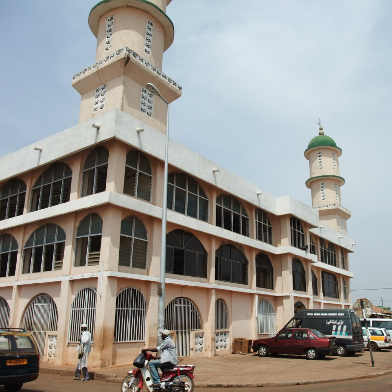
The Upper West Region of Ghana covers a geographical area of approximately 18,478 square kilometres. This constitutes about 12.7 per cent of the total land area of Ghana. The region is bordered on the North by the Republic of Burkina Faso, on the East by Upper East Region, on the South by Northern Region and on the West by Cote d’Ivoire. The capital and largest city is Wa. Other towns include Nandom, Daffiema, Jirapa, Kaleo, Nadowli, Lawra and Tumu.
The major ethnic groups are the Dagaba, Sisaala and Wala. The Dagaba live in the western part of the region, the Sisaala live in the eastern areas, and the Wala live in Wa and a few of the nearby villages. The Sisaala and Dagaba are mostly Christian and animist, while most Wala are Muslim; Wa is the largest predominantly Islamic city in Ghana. Waali, the language of the Wala, and the Dagaare language are mutually intelligible.
The major economic activity of the region is agriculture. Crops grown include corn, millet, groundnuts, okro, shea butter, and rice. Sheep, goats, chickens, pigs and guinea fowl are raised for meat and eggs. Because the region is poor and the dry season is long, extending roughly from October to May, many people leave the area to work in the southern part of Ghana for at least part of the year.
A distinctive feature of the region’s culture is the brewing of pito (pronounced PEE-toe) a sweet, mildly alcoholic beverage derived from millet. The pito is sold by the brewers in open air bars and drunk from calabashes.
Upper East
Bolga
The Upper East Region of Ghana is located in the northeastern corner of the country between longitude 00 and 10 West and latitudes 100 30”N and 110N and bordered by Burkina Faso to the north and Togo to the east the west by Sissala in Upper West and the south by West Mamprusi in Northern Region. The capital is Bolgatanga, sometimes shortened to Bolga. Other cities include Bawku and Navrongo. In area, the Upper East Region is 8842 square kilometers. In 2002, its population was 964,500.
The land is relatively flat with a few hills to the East and southeast. The total land area is about 8,842 sq km, which translates into 2.7 per cent of the total land area of the country.
Historically, the Upper East Region is part of what used to be the Upper Region (Upper East and Upper West), which was itself carved out of what used to be the Northern Region on 1st July, 1960.
From 1902 the old Northern Territory was a British protectorate until 1960 when it was separated into the Northern and Upper Region. The Upper Region was later apportioned into Upper East and Upper West in 1983 during the PNDC rule.
The process actually started in 1980 when what eventually became Upper West was run on an experimental base as a semi-autonomous region with Wa as the administrative centre, even though the Upper Regional Minister at Bolgatanga exercised overall responsibility.
The major ethnic groups are the Bimoba, Bissa, Buli, Frafra, Kantosi, Kasem, and Kusasi.
The geography is primarily savanna grassland. The climate is very dry.
Martin Buber
All journeys have secret destinations of which the traveler is unaware.

